
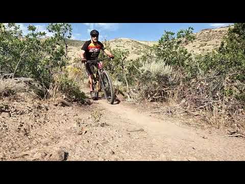
Herriman Sections
The Herriman portion of the Bonneville Shoreline Trail (BST) consists of two segments at this time (August 2026). Both run in an east-west alignment. The two pieces are separated by 1.2 miles of the Diamondback trail and 0.8 miles of Eric's trail. (See the Blackridge trail page.) The northern section opened in 2019, with the southern portion opening in late 2025.
The plan is that eventually the BST trail will extend all the way to the trails of Rose Canyon, and to the south toward the end of the Salt Lake Valley. Photos and review by Bruce on May 13, 2019 (northern section) and August 11, 2026 (southern section).
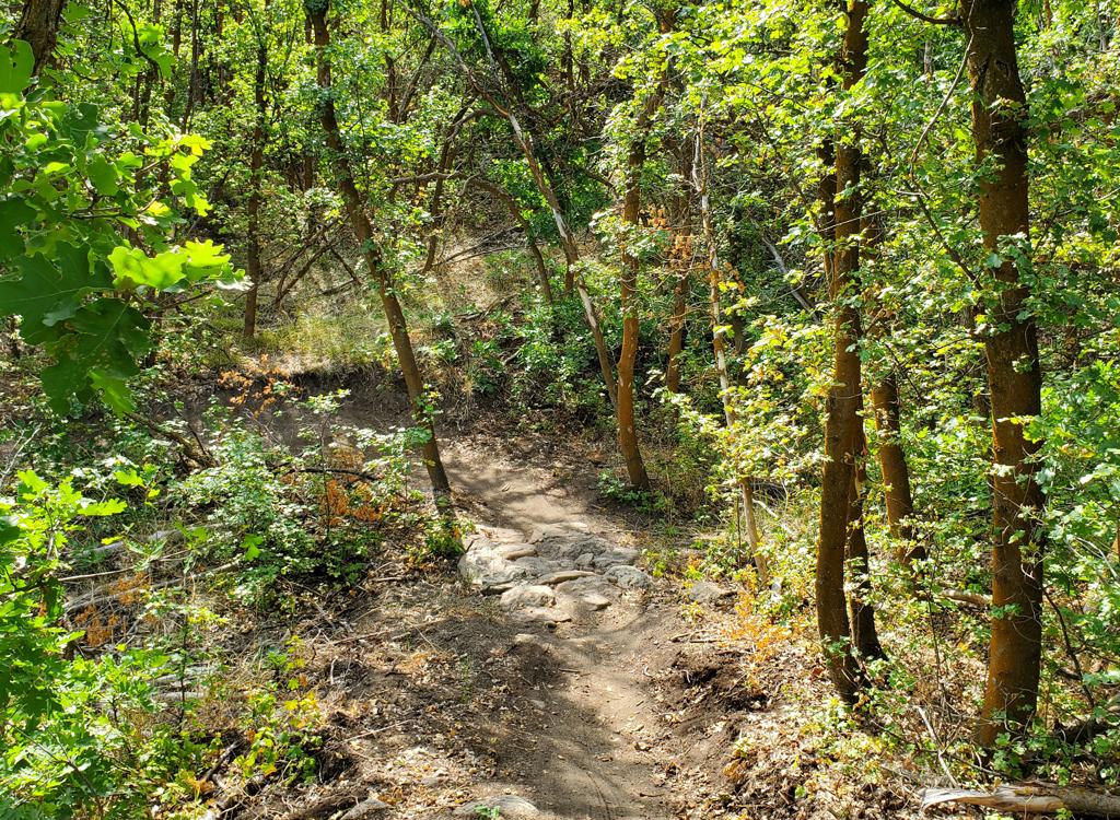
The southern segment lies higher in elevation at around 5750 feet. The riding is also more technical. The track is narrower, with a couple of tight turns and a few short sections of steeper trail. The surface is also less friendly, with frequent oakbrush root-bumps. It requires intermediate skills and effort.

A route that combines the northern segment, Diamondback, northern Eric's trail, the southern segment, and eastern Eric's back down to the valley would be 7.2 miles. The expected climbing is around 700 vertical feet. The two ends can be linked by pedaling city streets, or with a pick-up vehicle.
The southern segment offers some nice loop-ride opportunities. From the Blackridge trailhead, you can ride up to the BST and down Erics, closing the loop with a short mile of subdivision streets. You can also include the BST as part of various lariat loops using the upper trails (upper Eric's, or Mustang, or Mosey/Rawhide/Hardlick).
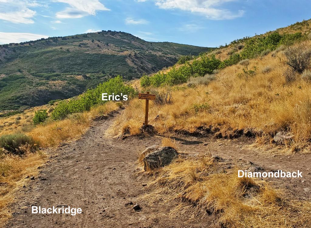
The path to the southern BST is to climb Blackridge, then continue straight uphill on Eric's trail. After 0.8 miles, veer left downhill on the BST as Eric's continues the climb up the canyon.
Climbing the eastern side of Eric's to the BST is a viable option, but takes more knowledge of the area. For a first-time exploration, my suggestion is to go through Blackridge.
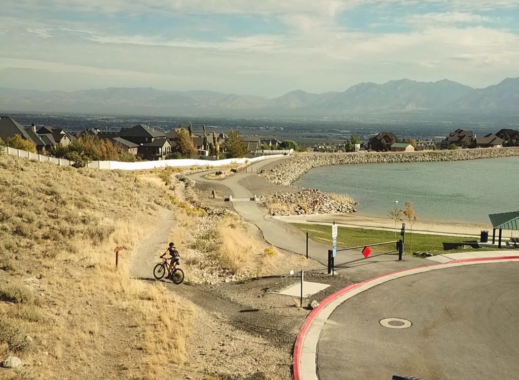
Southbound on Juniper Crest in Herriman, you'll see that you're leaving the dense homes and are approaching a bridge across a ravine. Before you reach the bridge area, turn right onto Ambermont Drive. Over the next half-mile, Ambermont goes southwest, then west, then turns to northwest. Now fork left on Aurora Vista. Quickly turn right onto Esher Street, then left at Ashland Ridge and enter the parking area for Blackridge Pond. The Blackridge trail starts at the far end of the parking strip. See the Blackridge Pond website for current fees and rules.
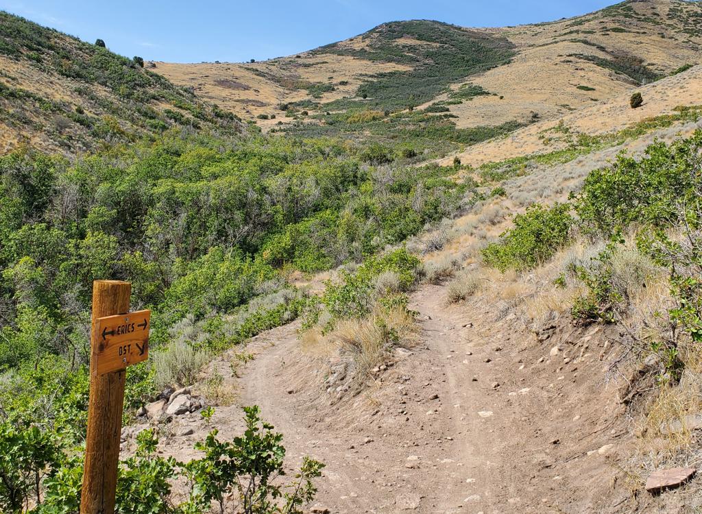
At this point, you will have climbed 1.1 miles and just over 100 vertical feet from the trailhead.

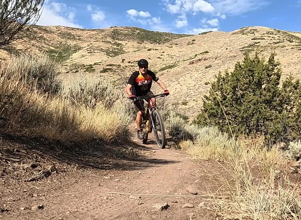
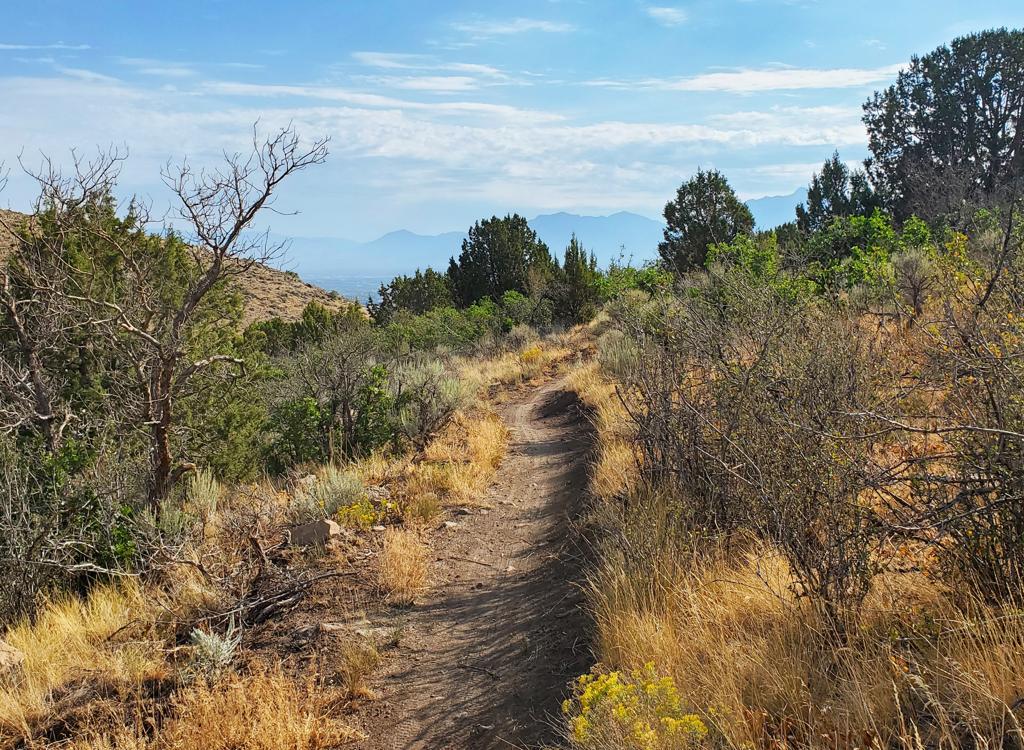
After the first 1/2 mile, there will be a few spots where the trail descends slightly. But mostly, it's climbing in this direction. You'll reach an elevation of around 5800 feet in the second half of the trail when eastbound. This area has some gentle up-and-down, holding to an average of 5770.
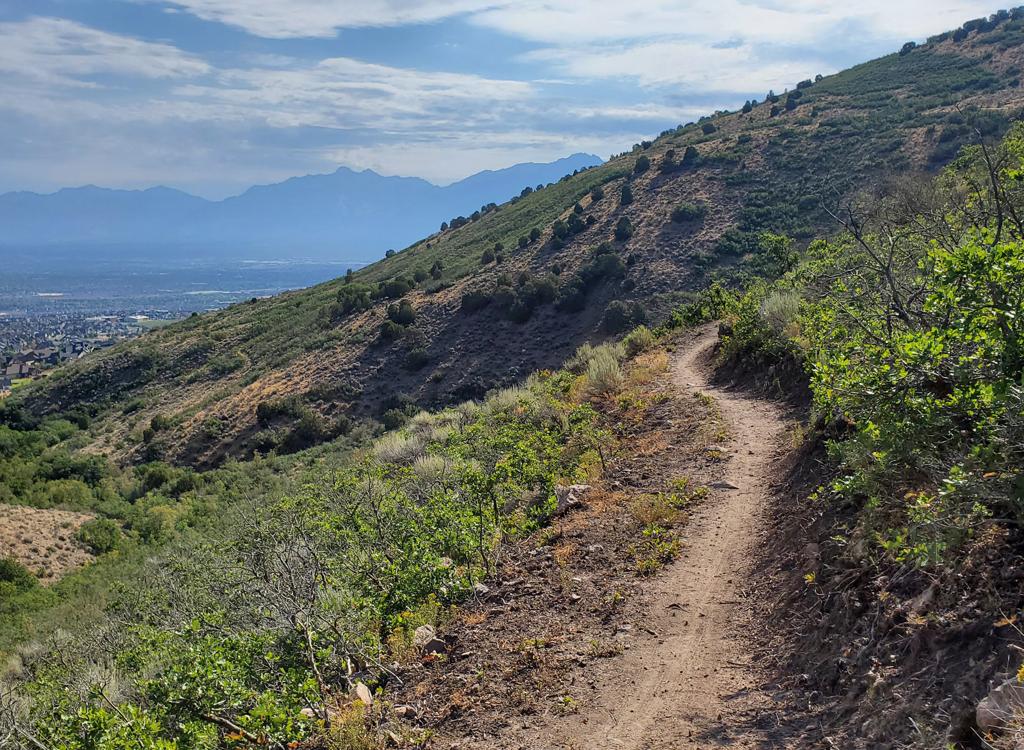
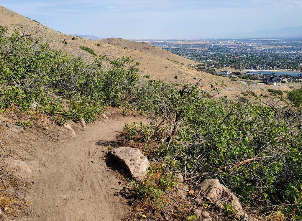
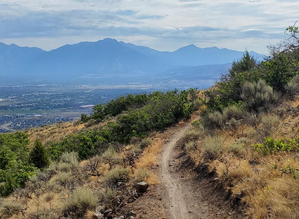
There aren't any significant rock outcrops, but nubs of cut-off gambel oak were eroding through the trail surface during my summer 2026 checkout ride.
At this time, it appears that the strong majority of riders are making the turn between the BST and lower Eric's trail -- not continuing further up the hill toward on upper Eric's toward Mustang and Mosey. The most popular route at this time is a loop of eastern Eric's, BST, northern Eric's, and Blackridge. City streets fill in the gap between the bottom of Eric's and Blackridge Pond.
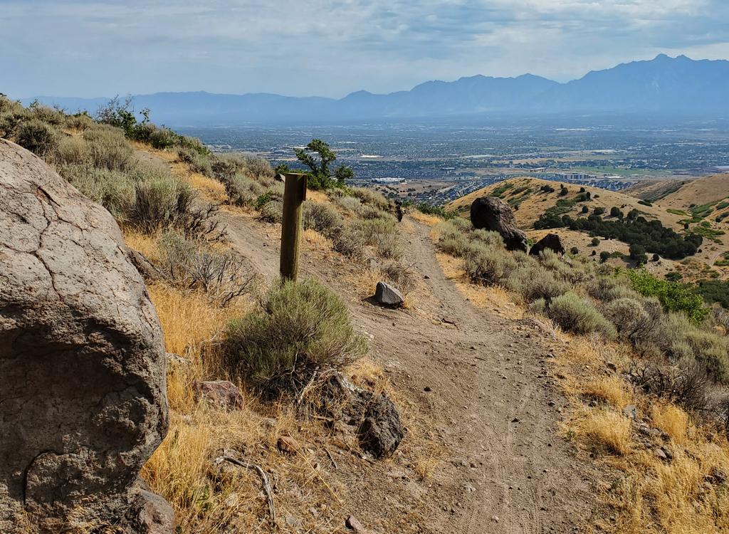
With a top elevation of 5700 feet, the riding season is expected to be late April through late November.


The trail is fully sun-exposed with zero trees, so expect it to be a toasty warm ride on a midsummer afternoon.
The most direct path is to ride the Blackridge trail from the pond, turn right onto Sidewinder in 0.2 miles, then continue left (and uphill) when Sidewinder ends on Diamondback at mile 0.9. At the next switchback of Diamondback, 1.1 miles from the trailhead, keep straight onto the BST as Diamondback turns to the left uphill.


The western end of the trail ends on the dirt extension of 6600 West -- which was blocked by construction equipment to the north. Trail runners are parking at the eastern end of Wide Hollow Drive, then heading north on the gravel road to the trail.


Nice trail that rides well in either direction, best suited for an out-and-back ride -- or a lollipop ride looping around Blackridge Hill by combining Diamondback and Sidewinder. This bit of the BST will serve primarily local residents, but can be an extra-miles add-on for those who've traveled to enjoy Herriman's trail system.

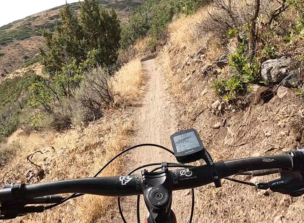
Bathroom at Blackridge Pond trailhead
Getting there: First, let me caution you. Street names in this area often change as you go through a stop sign. And the names on the signs are often not the same as what you see on your auto GPS or on Google Maps. Yeah, it's messed up. But print my map (link below) and take it with you. Look carefully at the street layout as you follow my directions and you won't get lost.
From the Bangerter Highway, turn west onto 13400 South and drive 2/3 mile. Turn left (south) at the Mountain View Corridor and drive about a mile. At the traffic light, turn right onto Rosecrest Road. After 1/2 mile, turn left onto Juniper Crest. (Watch out! From Rosecrest, the street signs to your right give the northbound continuation of Juniper Crest another name!)
Wide Hollow Drive access (west end of northern BST section): As above, proceed south on Juniper Crest, but you'll turn off to the right one street earlier, on Emmaline Drive. Go about a mile and a half on Emmaline, then turn left on Butterfield Park Way. After about 3/4 mile, there's a roundabout. Follow it 3/4 of the way around so you're southbound on Spring Canyon Drive. After 1/2 mile, turn left (east) on Wide Hollow Drive. At the end of the pavement, the gravel road to the left will take you to the trail, about 200 yards downhill on your right.
River Chase Road (access to east end of southern section via eastern Eric's): Southbound on Juniper Crest as above, turn left onto River Chase Road just before you come to the big bridge over the ravine. As the road begins to turn to the left by the pool, find a spot to park. There's a paved path on the right side of the road, just before the road turns left. Find it. The paved path descends into the ravine to join the paved part of the Juniper Crest Loop. Keep straight and pass through the tunnel, then continue on the dirt singletrack. Keep working west and you'll find Eric's trail as the slope increases.
Church trailhead on Juniper Crest (NOTE: may be affected by constructrion): From the Bangerter Highway, turn west onto 13400 South and drive 2/3 mile. Turn left (south) at the Mountain View Corridor and drive about a mile. At the traffic light, turn right onto Rosecrest Road. After 1/2 mile, turn left onto Juniper Crest. (Caution! the street signs north of Rosecrest give Juniper Crest another name!) Immediately after you pass the church 0.7 miles later, park at the roadside. The trail begins at the big boulders on the right side of the road immediately after the second entry to church parking. Work your way uphill to catch Eric's trail.


