This trail features a huge slickrock playground in the Entrada sandstone on top of the cliffs above Tusher Canyon. Looking at the cliffs from the bottom of the wash, you might not believe you can get there. But you can, and it's not as spooky as it looks.


From Moab's center street, drive north 15.5 miles. Watch for the dirt Mill Canyon Road on your left where the railroad tracks come very close to the road, just past a smallish hill on your left.
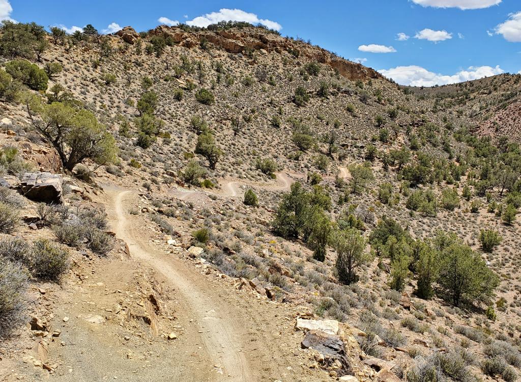
Once on the dirt road, go 0.6 miles and turn right, following the sign to Tusher Canyon. At 1.3 miles, keep left on the main road. At 2.7 miles, the road drops into the wash. Turn left up the wash (the greenish road on the right goes to Bartlett Wash). Keep left at the next two forks, staying in the wash. When the wash opens up into a small flat valley at 4.0 miles, watch for a rockpile on your left marking a rock "road" that heads to the cliffs.
Single-page trail guide
GPS track file (right-click and select "Save Target as..."):
GPX
Topo map for printing: High-Res
Lodging, camping, shops: Links to Moab area resources