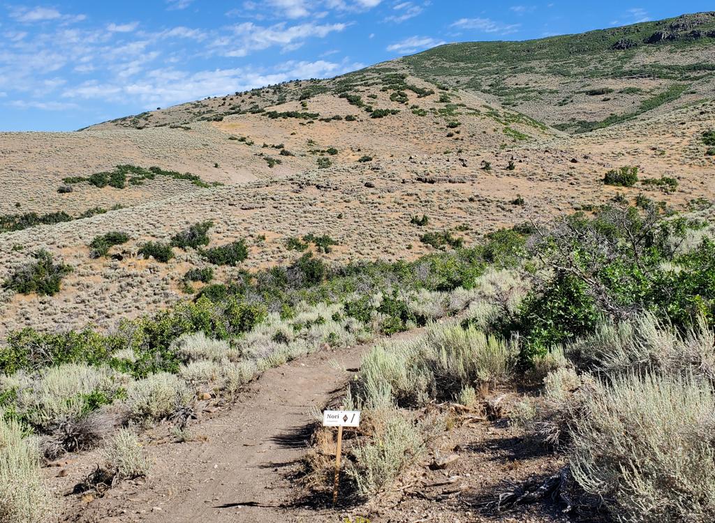
"Highway" to the Midmountain Trail and much more...
The Spiro Trail is one of the busiest trails in Park City. Here's why: It's a great all by itself. But Spiro is also an efficient route to some great riding loops. The top of Spiro connects to the Midmountain Trail. And from there, you can create a loop heading north or south. Big loops, little loops. I'll tell you about a few of them here.
Beginning in 2024, the lower portion of Spiro -- below the trail fork with the DH route Seldom Seen -- is UPHILL ONLY for bikes. Above Seldom Seen, it's still two-way traffic.
Navigation is easy. There are a couple of trail forks, but Spiro is well marked. You won't get lost. There's not much to say except it's a great trail, well maintained, with fabulous riding and nice views.
Most riders, however, will be riding the Spiro Trail with something other than Spiro in mind. Climbing Spiro is your entry fee to a world of possibilities.

(with alternates to Johns and Sweeneys in next section)
This is one of my favorites! Climb Spiro, then go left (south) on Midmountain for 2.8 miles. At the Silver King Mine, head east and find the top of Johns Trail for an aspen root-jumping, turn-twisting fun-fest of 1.8 miles. (Disclaimer: some riders absolutely HATE Johns, but I love it. If you want a brainless cruise, take another trail.) At the bottom of Johns, fork left and head over to descend Sweeneys for 1.7 miles. At the bottom, it's a fast 1.7-mile hop on pavement back to parking. Total: 11.1 miles.
For a smoother, shorter, faster first section of your descent from the Midmountain at King, you have two options: Left on Drift Road, or right on Silver King. Either one will take you down to the next set of options. (You have now bypassed Johns Trail.)
Alternates, second downhill section!
You can veer right and bypass the Sweeney Switchbacks. After 1/4 mile, you
can drop left and descend via Johns 99 (about the same distance as the
descent via Sweeneys). Or continue south on Gravedigger. Gravedigger
traverses into Daly Canyon, from which you'll descend Road 224 into town.


This ride is a favorite of locals. Climb Spiro, then fork right onto Midmountain. There are no bailouts now for about 9 miles. At mile 4 of Midmountain, the old trail is replaced by the 2010 Bypass, which will switchback you over the ridge and back to the trail at The Colony. At MM mile 10, keep right on Midmountain. (Left takes you over to the Wasatch Crest.) Fork right again in another mile on Robs, then take another right in 1/2 mile onto Ambush. Now descend to The Canyons. At the highway, turn right (south). Find the paved Olympic Trail and enjoy the ride back to Park City. Total: 21.3 miles.
Navigation can be a little more confusing on this loop. There are a LOT of branching trails between Park City Mountain Resort and Deer Valley. Take a trail map, and watch the signs. From Spiro, head south (left), passing the Silver King Mine. Keep left at the fork at MM mile 4.2 -- right takes you to Scotts Pass for a Wasatch Crest ride. At Midmountain mile 7.3 (10.4 of your ride), you reach the Deer Valley upper lodge. Find continuing trail on the south side of the lodge, and head for Deer Crest to navigate your way downhill to the lower lodge, at around mile 13.4 of your ride. Head back to town on pavement. Total: 16 miles.


At the top of Spiro, take Powerline and continue up Thaynes Canyon to Shadow Lake. Climb the hillside northwest of the lake to Scott's Pass 2.6 miles from Spiro. (Alternate: Midmountain for 4.2 miles, then fork left and head for Shadow Lake, reaching Scott's Pass in 8.4 miles. This makes the Epic an Epic-Epic.) At Scott's Pass, fork right uphill and grunt up Puke Hill. Ride the Crest 6.8 miles to the top of Mill Creek, then fork right in the meadow on the Crest Connector. 1.3 miles later, keep straight as you join the Midmountain Trail.
On Midmountain, it will be 10 miles back to the top of Spiro. Descend 3.1 miles back to parking. Total: 26.9 miles.
For the Epic-Epic (following Midmountain to Shadow Lake rather than riding Powerline), the miles will be 32.7.


The map shows the Midmountain Trail also in red. Big loops go to The Canyons or Deer Valley (or the Wasatch Crest). Smaller loops can include Johns, Sweeneys, Johns99, or Gravedigger.
One-page trail guide (Spiro-Johns-Sweeney)
GPS Track File (Right-click and "Save as...")
GPX Spiro only
GPX area trails
Park City multi-track area file
Topo maps for printing:
Spiro and PCMR Trails
High-Res
Lodging, camping, shops: Links to Park City area resources


