badTypical trail view on the South Canyon Trail, as the route contours a brush-c...
bad Typical trail view on the South Canyon Trail, as the route contours a brush-covered slope. Photos by Bruce, August 16, 2010.
South Canyon Trail
Loop via Rail Trail

Basin Recreation has created many fabulously exciting and scenic trails in recent years. This isn't one of them. The South Canyon loop trail comes to bat with three strikes already: the riding isn't exciting, the views don't inspire, and the trail doesn't really go anywhere. It's not a trail. But there are so many great trails nearby. So I'll struggle mightily and figure out who, exactly, would want to ride this loop.

Ah ha! I've got it. You've just ridden the Princess Di loop, and there's an hour before sunset. It's too late to pack up and head for another trail. But you want more riding before going home. Well, you just keep heading south onto this loop to tack on a few additional miles.

The shorter version of the South Canyon loop is 6.7 miles. The longer ride adds an out-and-back on South Canyon at the far end of the loop before heading back, and is 9.3 miles. Total climbing for the longer ride is about 600 feet. And the climbing is a little steep for beginners, which is why I'm not suggesting this as a ride for grommets.

The southbound route is the arrow-straight cindered Rail Trail (angling from low...
The southbound route is the arrow-straight cindered Rail Trail (angling from lower right in the photo).
Heading uphill on South Canyon, just south of the RocMon fork. A bit too steep f...
Heading uphill on South Canyon, just south of the RocMon fork. A bit too steep for rank beginners, and the loose volcanic rock stops unskilled riders quickly.
The loop combines 2.6 miles of the Rail Trail south from the Promontory Trailhead with the South Canyon singletrack. As the Rail Trail nears US-40, you'll climb up the 0.6-mile RocMon singletrack to the South Canyon Trail.

Then you can either head straight back, or continue around the mountain to the Browns Canyon road out-and-back, then complete the loop. Frankly, the best part of the South Canyon trail is the part everybody skips -- the piece between RocMon and Browns.

The terrain is mostly sage brush mixed with bitterbrush and potentilla. On the southern (out-and-back) end, there are a few stands of scrub oak. No shade. There's a view of the Snyderville area to the west.

Most of the trail surface is volcanic ash, with bits of pumice here and there on the trail. Lower on the mountainside, the clay surface was pocked and rough with horse hoof prints, and a few road apples.

Chunk of pumice on the trail.
Northbound from the RocMon fork.
Once you've climbed RocMon to South Canyon, consider the out-and-back (2.6 miles round trip) around the mountain. It angles slowly uphill until 0.2 miles from the end, when it drops quickly into the next canyon. The South Canyon Trail ends where the Browns Canyon road leaves the highway. Near the road, home construction (August 2010) has interrupted the path, and to reach the road, you'll need to hoof it along the construction fence.
The return trip northbound climbs slowly after it leaves the RocMon fork, then descends as it follows the mountain contour. Not bad riding here.

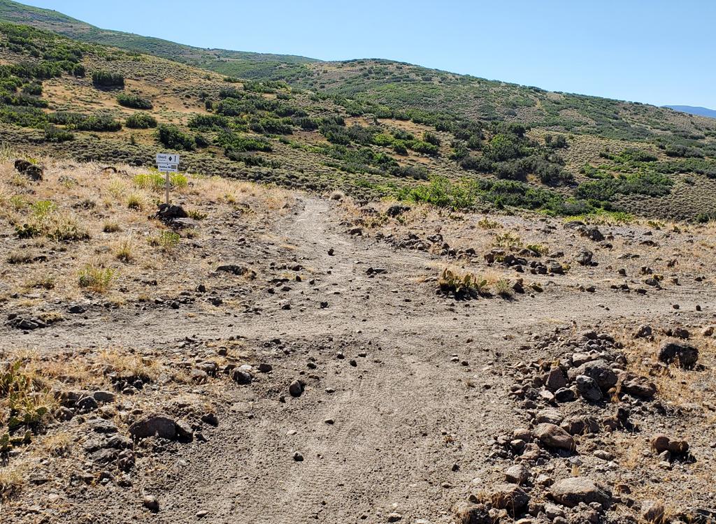
When the trail reaches a fence, it follows the fence west, then north. This stretch is probably the least exciting section of trail in all of the Park City area. The trail ends in a metal gate. Go left on the gravel road, and follow it back toward the parking area.

Heading north through the brush flat along a fence. You can make out a fencepost...
Heading north through the brush flat along a fence. You can make out a fencepost on mid-left. Are we there yet?
South Canyon Loop, counterclockwise:
0.0   At the Promontory sign N40 43.475 W111 28.309
        Go 100 feet west, fork L on the Rail Trail
        N40 43.471 W111 28.338
2.6   Fork L off Rail Trail N40 41.373 W111 27.477
        Go straight through the 1st gate to ST
        (don't veer back north to the big metal gate)
        Start RocMon Trail
3.2   Go through gate, R on South Canyon Trail
        N40 41.299 W111 27.201
4.5   At Browns Canyon, turn around
        N40 40.953 W111 26.034
 
5.8   Back at fork, keep straight
6.0   Keep straight N40 41.510 W111 27.128
7.2   Corner of fence, due west along fence
        N40 42.282 W111 27.482
7.4   90-degree R, due north along fence
8.4   Through gate, go L on DT
         N40 43.136 W111 27.784
         DT will gradually turn from W to N
9.0    L onto paved bike trail
         N40 43.449 W111 28.082
9.3    Paved trail ends, cross road to parking
South Canyon area
South Canyon area
Getting there:  Take I-80 eastbound out of Salt Lake City and cross Parley's Summit. Pass the Park City exit, then a couple of miles later, take US-40 south at Silver Creek Junction. In 1 miles, exit at Silver Summit. Turn L (east). Follow the road as it veers north. At 0.8 miles after leaving US-40, turn right on Promontory Ranch Road. Continue about 1/2 mile. Just after crossing the Rail Trail, turn left into a paved parking area with a "Promontory" sign. Begin the ride by passing the sign at the far end of the parking area and following the short connector to the Rail Trail.

Bathroom: Outhouse at trailhead.
Water: None at trailhead. Convenience store 1/2 mile away.
Camping: None in immediate area. Nearby at Rockport, Echo, or Jordanelle Reservoirs.
Bike Services: Multiple shops with rentals and repairs in Park City.

Riding resources for this trail:
Single-page riding guide: View to print

GPS track files (right-click and "Save as..."):     GPX South Canyon only
    GPX area trails
Large-format area topo map (900K): View
Lodging, camping, shops:   Links to area resources