Rockin A Trail
One of the Moab Brand Trails
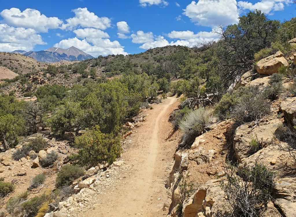
Seven miles north of Moab, the Moab Brand Trails offer a wide variety of biking fun. The Rockin A trail is a short technical section, only 1.8 miles long. However, the up-and-down quick-turn type of riding makes it a fair amount of work. This trail connects the southern end of the Bar M Loop and the Bar B Loop to the Circle O trail.
The shortest ride that includes the Rockin A trail is 8.7 miles. This is a counterclockwise trip around the Bar M, skipping a one-mile portion of Bar M to ride the Rockin A.


Rockin A is significantly more technically than Circle O. But it's half as long. So if you're trying to choose one over the other, Circle O will be more satisfying for an early-intermediate rider.
Rockin A is uphill -- and a harder ride -- in the north-to-south clockwise direction. My video shows it clockwise, but most riders prefer to ride from south to north. This puts Rockin A slightly downhill in the toughest sections.
Hard-core bikers will ride Bar M to the Bar B trail (right across from the Rockin A's start), then ride the Bar B loop before entering Rockin A.
After completing Rockin A, ride Circle O before completing your loop. Or, head back to Bar B and drop down Killer B.


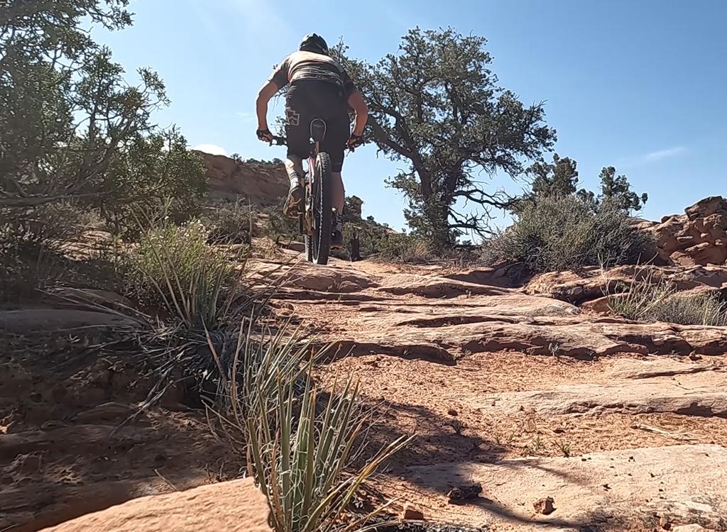
The ride is 100% slickrock. The Entrada sandstone forms waves, so you'll be constantly making short climbs and descents. There are a couple of ledges and wheel-traps that require either technical skill or a dismount. There's no cliff exposure or other truly hairy stuff.
Ride Description, direct to Rockin A on
Bar M:
0.0 Exit parking, turn right and ride south
0.7 Pass Gemini underpass, keep straight
1.7 Fork L (leave 191)
2.3 Fork R (L = Bar M shortcut)
2.9 Keep straight (Bar M loops to L)
After 100 feet, fork L on ST
(option: ride Bar B loop first)
Start Rockin A!
4.7 At Circle O
(option: fork R to ride Circle
O)
L to return to Bar M
4.9 R on Bar M
8.7 Back at parking


Getting there:
From the north: Drive south on US-191 for 22 miles south of I-70. From Moab, drive 7 miles north from the Colorado River on 191. When you see the Gemini Bridges parking area, look for a gravel road on the opposite side (east, away from the cliffs). Turn onto the gravel road and immediately go right, then right again into the parking area. GPS N 38° 39.38' W 109° 40.66'. The trail starts by riding the gravel road either north or south. Our ride description assumes you'll ride south out of the parking lot, counterclockwise on the Bar M.
Riding resources for this trail:
Single-page riding guide
GPS track files (right-click and "Save as..."):
GPX file all Moab Brand area
trails
Course track Bar-M w Circle O +
Rockin A
Expert Tour Bar-M-O-A-B-plus
High-res topo (500 KB):
View
Lodging, camping, shops:
Links to Moab area resources