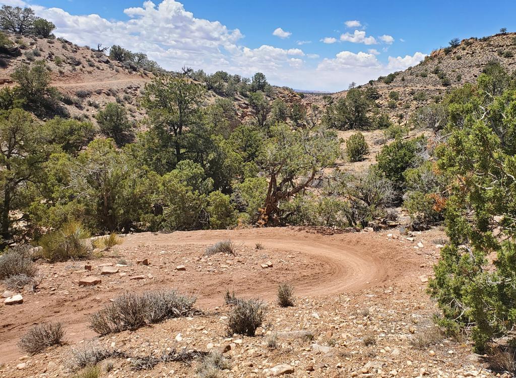
Onion Creek is a dirt-road ride. The highlight is several miles riding through a deep chasm carved in colorful sandstone, the Onion Creek Narrows. The surface of the Onion Creek portion is fairly smooth, for a very easy technical rating. As an out-and-back, the ride is about 7 miles each way (depending on where you turn around) with 1500 vertical feet of climbing. This section can also be ridden downhill one-way with shuttle -- the road is easily passable in the family SUV.


The long ride starts in long-leaf pine, pinion, and juniper. A portion of the ride is on the Kokopelli trail. As it drops down, there are distant views of mesas and cliffs. After popping over the steep hill into Fisher Valley, the cliffs of Wingate sandstone frame this picturesque scene.


0.0 At the fork, head downhill left
N 38° 36.716' W 109° 11.738' Alt 8100
0.5 Pass ATV track on L, corral on R
2.0 Keep straight on main road
N 38° 37.284' W 109° 10.365' Alt 8200
Straight at any other spurs
4.3 Left on DT marked Kokopelli Trail
N 38° 38.693' W 109° 09.452' Alt 7600
7.2 Hard left, ignore track on R
13.7 Stay left on main road, head south

 and Dominic hit the water.")
14.4 Gate at top of hill
15.2 Fork R, west
N 38° 40.623' W 109° 12.704' Alt 5800
16.2 Keep straight L (R = Kokopelli Tr)
N 38° 41.340' W 109° 13.233'
18 Dropping towards Onion Creek Narrows
Multiple creek-crossings!
23 Leaving Narrows
25.0 Back at parking area
N 38° 43.253' W 109° 20.576'
Drive north from Moab (2.4 miles from Center Street) on US 191, and turn right on U-128. Set your odometer as you turn. At mile 15.2, you'll pass the paved Castle Valley - La Sal Loop road on your right. Continue on, passing a gravel road on the right at mile 18.0. At 19.7, turn right onto the gravel Onion Creek Road. Drive 0.7 miles to a parking area on the left-hand side of the road N 38° 43.253' W 109° 20.576'.

GPS track file (right-click and select "Save Target as..."):
GPX (w. Kokopelli track)
Topo map for printing:
High-Res
Lodging, camping, shops:
Links to Moab area resources