Mercer Canyon (Lake Mountain Summit) is not going to become your favorite ride. The gravel road to the top of Lake Mountain is unexciting for an experienced biker, but is a bit too much climbing for a family ride.
This route is easy technically, but fairly strenuous aerobically. Depending on your appetite for miles, we'll suggest two variations of this ride: (1) Park off U-68, as below, for a 21.6-mile out-and-back, with 3000 vertical feet of climbing. (2) Follow the riding directions in your car to mile 5.2, then turn left to park on the south end of the open-pit mine, for a 10.6-mile, 2000-vertical ride.


0.0 Start west on dirt road
GPS N 40° 10.250' W 111° 56.017'
3.1 Cross Soldier's Pass
3.2 R onto smaller road
GPS N 40° 11.968' W 111° 58.184'
3.9 Fork R, N 40° 12.267' W 111° 58.706'
4.9 Keep R, N 40° 12.781' W 111° 57.997'
5.2 Keep R (L = open-pit mine)
N 40° 12.958' W 111° 57.766'
40° 13.149' W 111° 57.692',
on ST 0.3 miles to road meet road at 5.7)
5.7 Trail in from mine on L
N 40° 13.135' W 111° 57.357'
10.7 Keep L
10.8 Fork R off main road
N 40° 16.645' W 111° 56.254'
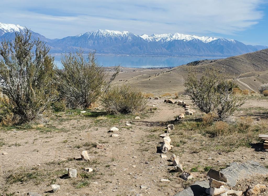
uphill 100 ft, R again, up to view at ridgetop

Getting there: From the intersection where U-73 meets U-68 (about 5 miles west of Lehi), turn south on U-68. Drive 19 miles south. (Ignore multiple smaller dirt and gravel roads along the mountain.) As you near the south end of Lake Mountain, watch for a fairly large gravel road on your right that has a stop sign, GPS N 40° 10.250' W 111° 56.017'. Park here and ride west on the gravel road.