
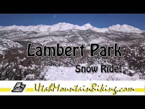

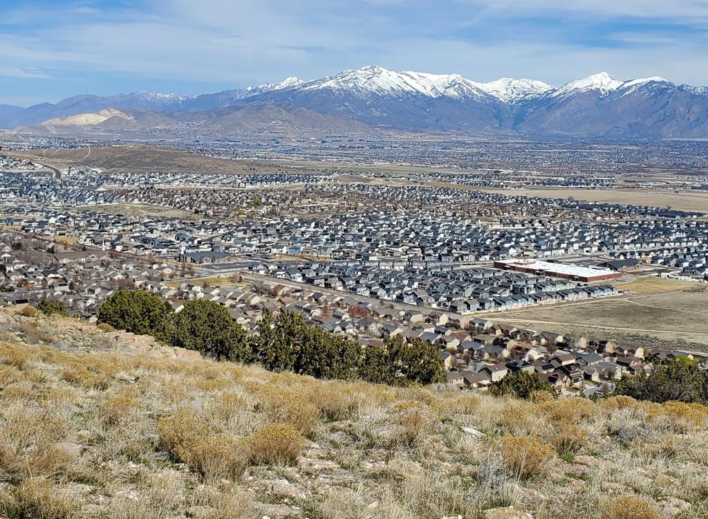
Alpine's Lambert Park is a foothill area on the edge of the national forest. Over 16 miles of singletrack trails meander though scrub oak, maple, and sage. The singletrack ranges from easy intermediate to advanced intermediate. The many interconnecting trails offer hundreds of riding options. Lambert Park is popular for early and late season riding, as well as winter fat biking.


Although built by cyclists specifically for mountain biking, hikers and equestrians are welcome. Some singletrack trails are closed to horses because of risk of injury to horse/rider/cyclist (Rodeo, Lambert Luge, the southern-end DH flow trails).

The area north of Box Elder Drive features climbs and downhills in cool maple forest, as the park extends further up the mountain. Lambert's most popular ride is on this hillside. Go to the this trail page for individual trail descriptions and sample ride.

Western Lambert Park
The main corridor down the west side of the park is home to trails favored by local hikers, and a mainstay of mountain bikers. These trails tend to stay open year-round. After packed singletrack fat-tire biking during the winter, they quickly dry for early-spring riding.
Southern Lambert Park
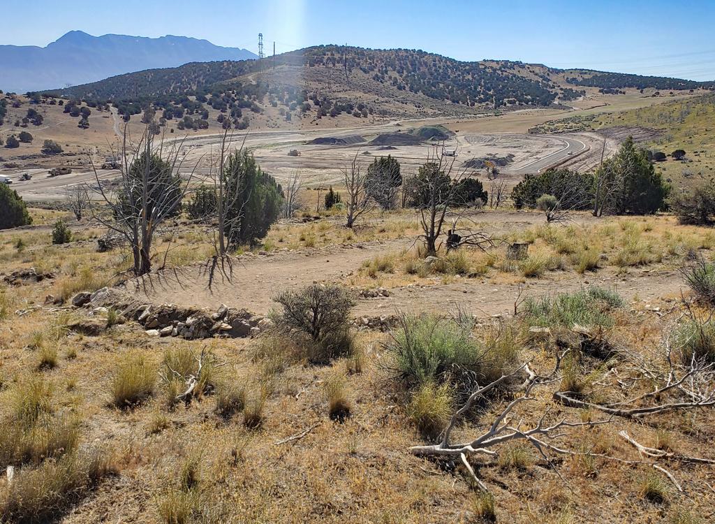
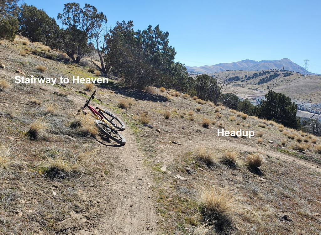
On the southern end of Lambert Park, the riding area again extends higher up the mountain. In 2022, this area was rebuilt to offer flow trails, so it's a different experience from the XC riding elsewhere in Lambert. There are two trailheads with immediate access to the south trails, or you can pedal in via the Redford Run neighborhood trail.
The main north-south doubletrack (High Bench Road) is a fun broad path for beginners and families. As of summer 2017, motorized vehicles are forbidden in Lambert Park, except on paved Box Elder Drive and the paved roads to the Bowery and Rodeo Grounds parking areas. At this time the ban includes High Bench Road and the Lambert Homestead (poppy field) road. These dirt roads will continue to exist, however, as they are used for utility access by authorized vehicles and as fire-fighting and evacuation routes.
In late 2021 through 2022, a broad hiking-only trail called Judy's Trail was created in Lambert Park. It starts at the Bowery, crosses Box Elder at the junction between Middle and Rodeo Up/Down, then heads south along the far west edge of the park before turning to cross the bike trails as it heads east uphill. After it crosses the top of the Poppy Trail it goes north back to Box Elder Drive to close a loop south of Box Elder.

Far north end of Lambert Park, best for riders who want to ride laps on the famous Rodeo trail. This is a popular trailhead but has plenty of parking. Bathroom, kiosk. The lower Rodeo downhill trail starts on the south side of parking by the kiosk.

The Bowery is just off of Box Elder Drive as you enter the park from Grove Drive. After crossing the creek, go right, then turn left on the smaller paved road when Box Elder Drive turns to the right. The Bowery has amenities such as bathroom, water, shaded picnic tables, volleyball pit. The Spring trail is on the south side of the parking lot.

Small trailhead without bathroom, located at the end of Moyle Drive with direct access to the hiking loop trail and the High Bench bike trail. On Alpine Blvd, turn left onto Moyle Drive and continue to the end of the pavement.

Very popular place to start your ride. On Alpine Blvd, turn left as you pass the church, then immediately left onto a narrow paved road at the back side of the church. This road will end at the gravel trailhead. Nice bathroom with running water, lots of parking.

There's a wide area for parking at the end of Bald Mountain Drive for riders who want to start from the far south end. No water or bathroom. This is also a good spot to start the Redford Run trail -- good for true beginners and kids.

From Draper... Get to the Peak
View trailhead, then take Peak View to Three Falls.
As you reach Fort Canyon, take either Forbidden or continue on Three Falls
to Bodily Harm (see the Three Falls
to Alpine Cove page). Once you hit Alpine Cove, take city streets 1/2 mile to
Lambert Park. You'll arrive at Box Elder Drive. See the trail pages linked
above.
Within Alpine... In the southern 2/3 of Alpine, pedal uphill to intersect the Redford Run trail,
then traverse north to the south end of Lambert Park.
From Cedar Hills and Highland... The Lone
Peak Wilderness trail from the American Fork Canyon
mouth is also discussed on the Redford Run trail page, but some of the trail lies
within the borders of an
official wilderness area.
Topo map as of September 2023

Rodeo grounds trailhead: Keep left at the fork and drive 0.25 mile on pavement, then turn right onto a dirt road and drive 0.25 mile. The trailhead is on the right side of the road, where you'll see a parking strip and a bathroom just before the rodeo arena. (Toilet.)
Bowery trailhead: Keep right at the fork as you cross the river on the paved road. Pass the High Bench dirt road on your right. About 300 feet further up the paved road, keep straight as the main road turns right, entering a smaller road. 500 feet up the dirt road,, the Bowery pavilion is on the left, with a parking lot on the right. (Toilet, pavilion, water.)
South (aka High Bench or "church") trailhead: About 1.5 miles up Grove Drive (as above), turn right on Alpine Boulevard. Go 1/2 mile until the road turns from east to south in front of a big church. After you pass the church, fork left toward the mountains. Immediately after the church's back fence turn left onto a narrow paved road and proceed to the trailhead. (Toilet, shaded picnic, water.)
Moyle Drive: On Alpine Blvd, turn left onto Moyle and drive to the end. The High Bench trail crosses the road just east of parking. The trail that crosses the parking area is a hiking trail (Judy's).
Bald Mountain Drive: Turn onto 100 South in Alpine. Drive east until you're forced to turn at Country Manor Lane. Go left. At 300 North, turn right, then take the next left on Bald Mountain Drive. Go to the end of the road and park.
Map in new window: Topo map
One-page riding guide.
GPS track files (right-click a file and select "save as..."):
Lambert.gpx multi-track area file
Lodging, camping, shops: Links to northern county resources


