
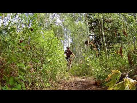

The Horse Flat Trail begins at the Alpine Loop Summit parking lot. This two-mile trail climbs up the saddle between the North Fork of Provo Canyon and the South Fork of American Fork Canyon. It turns back downhill in a grassy area called Horse Flat, the heads downhill to join the Lame Horse (Aspen Grove) trail on the Provo Canyon side of the summit. Horse Flat can be done as an out-and-back or as a loop ride.


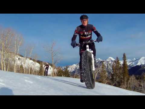
Note that the winter snow-riding route -- see the video below -- does NOT follow the singletrack trail. It passes through a draw just to the west, in a more-open area.


Start at the Alpine Loop summit trailhead. The loop can be done either direction. Some riders prefer to do one limb of the loop as an out-and-back -- for example as a side-trip when riding the Snow Gauge Loop.
My discussion assumes you'll start the Horse Flat trail directly from the summit trailhead for a counterclockwise ride.


| Left: Banana Thunder rests against the Horse Flat sign.September 1999.
Right: Jackie waits for the bike to get moving again.September 1999. |
|


Turn to the left, uphill. Pedal 0.5 miles on a gradual slope. Keep straight and left as the Deer Creek South Fork trail joins Lame Horse from the right. 1/10th mile later, you're back at the summit trailhead.


Snow Gauging trail: At 1/2 mile uphill on the western side of the Horse Flat loop, the Snow Gauging trail forks downhill. This can be combined with Willow Hollow for a 3.5-mile loop ride, or 4.5 if you make an up-and-back to Horse Flat before turning onto Snow Gauging -- as in the video below. This ride is for upper-intermediate to advanced riders.
Extended Deer Creek South Fork: Consider adding Horse Flat to your DCSF loop ride. As you approach the summit when riding clockwise, fork to the left downhill on Lame Horse. Then fork right on Horse Flat and ride the loop around to the summit parking.
0.0 At summit parking, go to west side to find trail
N40 25.851 W111 36.830
Immediately fork L uphill on Horse Flat trail
0.5 Keep L (R = Snow Gage trail)
N40 25.687 W111 37.105
1.0 At Horse Flat, keep generally left
N40 25.255 W111 37.170
N40 25.469 W111 36.575
2.5 Straight (R = Deer Creek South Fork)
N40 25.793 W111 36.811
2.6 At parking.

Alpine Loop summit trailhead. From I-15, take the Alpine-Highland exit and drive 7 miles to the mouth of American Fork Canyon. Pay your $6 fee (as of 2018) there. Five miles later at the fork in the road, go right along the south fork of the river and climb to the summit. There's a parking lot on your right just before the top of the ridge. From parking, find the trail on the west side of the loop (the side that overlooks AF Canyon). Go about 10 feet down this trail, then turn left and begin climbing uphill (south).
Bathrooms: Summit trailhead, Salamander Flat trailhead,
Timpooneke trailhead
Water: Developed campgrounds
AF Canyon area topo map: View map
Single-page riding guide for printing.
Lodging, camping, shops: Links to AF Canyon resources
GPX Horse Flat Loop
American Fork Canyon multi-track area file


