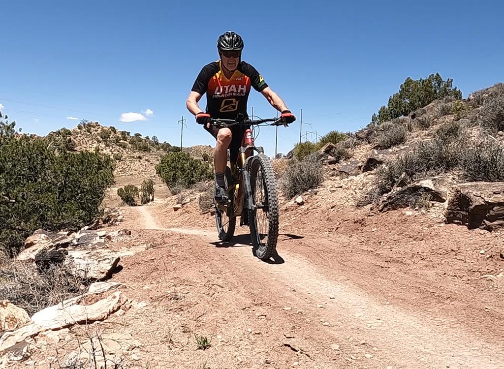
Hazard County is a great stunt trail for DH bikes. The only problem is, there's this darn CLIMB that starts it out. Well, it's only 200 vertical feet over 1/2 mile, but still... The trail starts near the Warner Lake Campground in the La Sal Mountains. It's 3 miles long with a descent of 1000 vertical feet.


The gap jumps look fun. We didn't dare -- the penalty for hitting the upside of the down-ramp was too high for us on our little XC bikes without body armor.
In the oak area, the trail twists back and forth like a dying snake. Most turns are banked, and many have a stone "kicker" to help you nail the corner.


If you're riding Hazard County as part of the Whole Enchilada , you'll find the trail just outside the Warner Lake Campground. Navigate the campground roads and just after you exit, fork to the right up the hill on Hazard County. Once you complete Hazard, you have the option of riding a fast straight-shot on Kokopelli to UPS , or you can catch the new Jimmy Keen singletrack . Jimmy Keen starts at the viewpoint on the La Sal Loop road just to the east of the end of Hazard. Or you can head down Kokopelli about 1/10 mile to where the singletrack crosses and fork left. Here's a map.

Single-page riding guide
GPS track files (right-click and "Save as..."):
GPX Hazard only
Whole Enchilada trails
Large-format topo map (300 KB): View map
Lodging, camping, shops: Links to Moab area resources