View of Kane Springs Canyon from the road's end. To the west, Hatch Wash. Photo by Bruce, April 2006.
Flat Iron Mesa
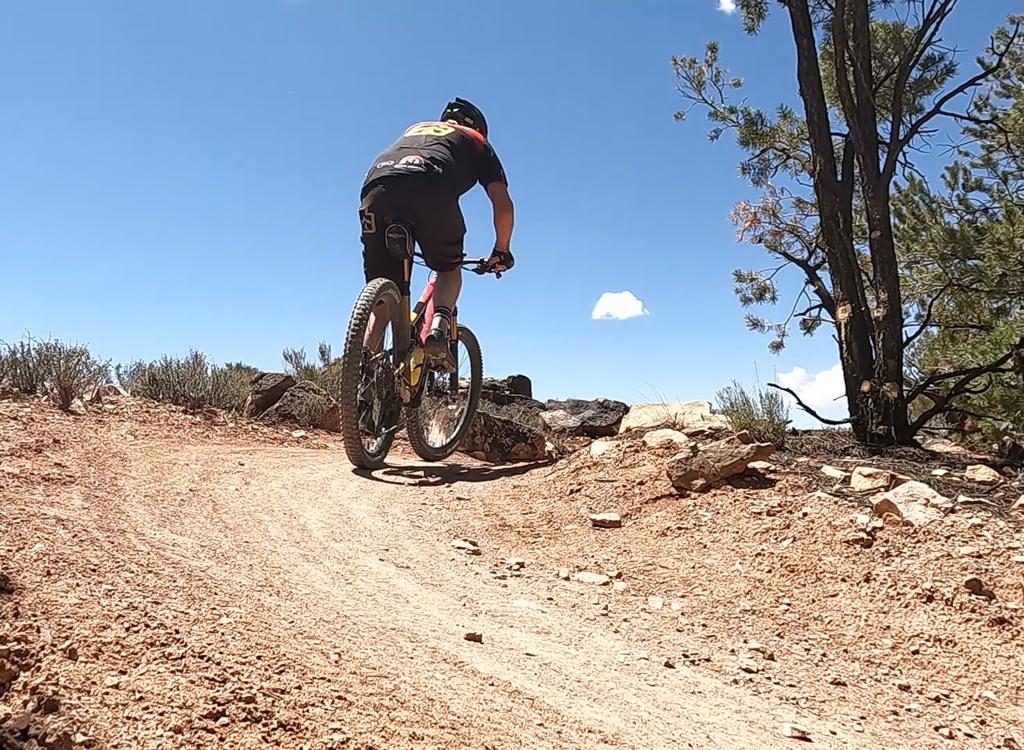
First, the good news. The views from the end of the ride are incredible. Now the bad news: until you get there, this ride is just another boring dirt road to nowhere. This 7-mile ride is fairly easy, but there's some up-and-down riding.
First, the good news. The views from the end of the ride are incredible. Now the bad news: until you get there, this ride is just another boring dirt road to nowhere. This 7-mile ride is fairly easy, but there's some up-and-down riding.
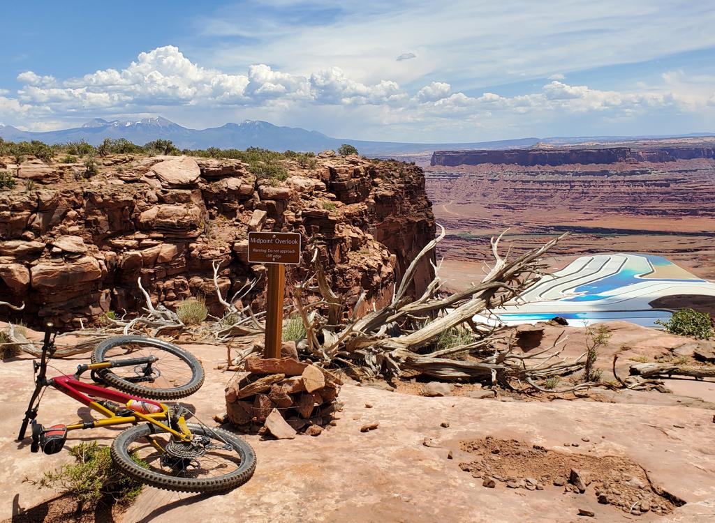
The end of the ride is where Hatch Wash meets Kane Springs Canyon. You're surrounded by gaping canyons, 270 degrees. In front of you is a rincon, an island of stone left by the meandering creek.
There's a second road that forks off Flat Iron Mesa road and follows Hatch
Wash. I'm told this is a more visually interesting and more technical
riding route. But I didn't explore it, due to (A) broken camera, (B) major
dust storm, (C) no topo map of the area, and (D) sun going down. This
alternate route forks off about a mile from the highway and rejoins the
mesa road right at the view area. Let me know how it rides, and send a
photo or two.
The ride averages downhill as you go toward the overlook, starting at an elevation of 5900 feet and ending at 5500. There are about six down-and-up again hills, so you'll do 800 feet of climbing -- 200 out and 600 back.
There are many dirt roads that intersect the Flat Iron Mesa road. Just stay on the main road. At one point about 1.5 miles from the highway, you'll hit a "Y" fork that might be confusing. The right-hand fork was gravel-covered and wide. The left (correct road) went over a cattleguard and through the fence. Fortunately, there was a "street intersection" type sign.

View of the La Sal Mountains from the road.

Flat Iron Mesa map
Getting there: From Moab's main street, drive 20
miles south on US 191. Enjoy the pretty red rocks. When you see a group of
industrial buildings on your right, go about 1/4 mile further, then turn
right onto the Flat Iron Mesa Road. GPS N 38° 19.425' W 109° 25.605'.
Find a smooth spot to park and start riding.
Overlook coordinates: approx N 38° 22.48' W 109° 31.00'
Riding Resources for Flat Iron Mesa:
Large-format topo map: View
Lodging, camping, shops: Links to Moab area resources
Large-format topo map: View
Lodging, camping, shops: Links to Moab area resources
GPS track files:
GPX