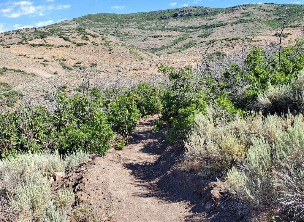
Typical view as we cruise along Johns99 northbound. Photos and ride description September 13, 2011 by Bruce.
Flat Cable to Johns99 Loop
Sweeney's to Flat Cable to Loose Moose to Drift Road to Apex Connector to Flat Iron to Link to Johns99 to Johns to South Sweeney's
Sweeney's to Flat Cable to Loose Moose to Drift Road to Apex Connector to Flat Iron to Link to Johns99 to Johns to South Sweeney's
If you've been-there done-that in the Park City area, here's fresh trail. This nice 12-mile loop has 1800 vertical feet of climbing and hits some beautiful but less-traveled singletrack. Much is easier-intermediate in tech requirement, but Sweeney's Switchbacks and Johns Trail are advanced trails.
Bottom altitude is 6900 at the Park City Mountain Resort (PCMR) parking lot. The top is about
8500 just above Link on the Flat Iron doubletrack. The loop comes together
then diverges again
three times. There are plenty of bailout opportunities.
The ride starts with a short jaunt up Sweeney's Switchbacks, which you can reach from the PCMR parking area by heading 0.7 miles south on Lowell Avenue. After 0.3 on the doubletrack, fork hard right uphill on the north Sweeney's Switchbacks. 1/2 mile later, keep left on Sweeney's as a fork descends toward Park City. At mile 1.6 of the ride, turn right off of Sweeney's on the trail signed as "To Crescent Mine Grade."
The ride starts with a short jaunt up Sweeney's Switchbacks, which you can reach from the PCMR parking area by heading 0.7 miles south on Lowell Avenue. After 0.3 on the doubletrack, fork hard right uphill on the north Sweeney's Switchbacks. 1/2 mile later, keep left on Sweeney's as a fork descends toward Park City. At mile 1.6 of the ride, turn right off of Sweeney's on the trail signed as "To Crescent Mine Grade."

View uphill as we begin the climb up Sweeney's Switchbacks. We'll pass under two ski lifts.

Flat Cable winds uphill, crossing ski runs into aspen forest and back again.
Take note: you'll be coming back the other direction on this trail, the only time you'll repeat
any trail section.
The trail will climb around the mountain at a gentle grade. As you cross ski slopes, there will be views north over Park City.
The trail will climb around the mountain at a gentle grade. As you cross ski slopes, there will be views north over Park City.
Flat Cable now turns uphill and winds toward the top of the Alpine Slide. The grade isn't too
tough. Look forward to doing this section in reverse downhill.

The trail comes close to the tracks of the Alpine Slide. Do you suppose if you paid enough, they'd let you ride your bike down the half-pipe?

Approaching the fork where Billy's Bypass, the CMG connector, and Loose Moose come together.
After passing above the lift for the Alpine Slide, the trail descends a little bit and crosses
a broad ski slope at mile 2.2. You're approaching a critical fork. (See
photo.) Just as you
approach the trees, the return trail forks hard left uphill. Keep straight.
The route to the
Crescent Mine Grade forks downhill on the right. Keep straight and slightly
uphill as the tread
becomes more faint on old doubletrack.
You're now on Loose Moose. At first, it seems to be a cruddy doubletrack of little biking interest.
Wait.
Loose Moose follows an old mining grade straight up the hillside. At first it's southwest, then straight south.
Loose Moose follows an old mining grade straight up the hillside. At first it's southwest, then straight south.

Looking back down Loose Moose as we climb.

Loose Moose crosses a ski slope as we get closer to Drift Road.
At mile 2.5, Loose Moose turns left to head northeast. After the next turn (to the right),
watch for an upcoming trail fork at mile 2.6. Fork right on the Loose
Moose to ski-lift connector.
(The left fork will also take you to Drift Road, but near the bottom.
I thought you'd rather
spend more time on singletrack, even if the trail is more obscure.)
The connector trail winds through the forest on narrow track. Some sections have shrubs crowding
the path, but overall it's pretty good trail. It will head through aspen
and fir forest for
1/3 mile.

Heading southwest on the connector between Loose Moose and the mining tailings below the top of Drift Road.

Looking down from Drift Road. Here's your trail map.
As the singletrack breaks out of the trees, there's a navigation challenge. The area here was
recently bulldozed, and the trail hasn't been re-established (as of autumn
2011). Veer gently
to the right across the open area, staying level, then climb gently north
toward the ski-lift
building on the ridge. At the top, turn left on the dirt road and ride
uphill to Drift Road
at mile 3.4. Keep straight and climb to the open area west of the lift.
Aim for the singletrack just below the uphill building. The trail is signed for Midmountain
and Apex. As you reach Midmountain, turn right (north). Follow Midmountain
around to doubletrack
and turn left uphill. Keep straight past the fork where Midmountain turns
right. You're now
on Steps. At mile 4.0 as Steps turns right uphill, keep straight and head
into the trees on
the Steps to Flat Iron connector called the Riser trail.

On the connector between the first switchback of Steps and the Flat Iron doubletrack.

Flat Iron. Gentle grade; not exciting. But you won't be bored for long.
Cross one dirt road (Miner's Mile). The trail will now veer right onto a doubletrack heading
southwest and gently uphill. This is Flat Iron.
Follow Flat Iron about a half mile to a 5-way intersection of doubletracks near a ski lift. Turn hard left downhill toward the lower of the two ski lifts.
Follow Flat Iron about a half mile to a 5-way intersection of doubletracks near a ski lift. Turn hard left downhill toward the lower of the two ski lifts.
Keep straight as you pass below the ski lift and find the Link singletrack heading across the
meadow into fir trees. You're now at mile 4.7.

Here's the beginning of Link, just downhill to the left from the end of the Flat Iron doubletrack.

Zooming through the trees on Link. There are a few root challenges, but nothing too technical.
At mile 5.0, Link arrives at the Midmountain Trail. Keep right for 50 feet, then fork left
off the Midmountain on the continuation of Link. (You're preserving the
same overall direction.)
Ignore any ridiculously steep cheater DH routes that cross or fork off
of the trail.
At mile 5.4, Link will end at the beginning of Little Chief and Johns99. Little Chief continues straight ahead. If you blow through this marked intersection, you'll find Little Chief to be a beautiful and fun ride to the Midmountain Trail as it passes the Empire Lodge at Deer Valley. But it's not the way you want to go.
At mile 5.4, Link will end at the beginning of Little Chief and Johns99. Little Chief continues straight ahead. If you blow through this marked intersection, you'll find Little Chief to be a beautiful and fun ride to the Midmountain Trail as it passes the Empire Lodge at Deer Valley. But it's not the way you want to go.
As you complete Link, turn hard left onto Johns99. Here's one of the best parts of this ride.
Johns99 is the old equivalent of the Midmountain Trail -- a route that
holds the same altitude
on the mountain as it follows the contours north-south. It will be slightly
downhill as you
head north.

Arriving at the bottom of Link, we turn hard left to enter Johns99. Photo from the Little Chief trail.

On the north slopes, Johns99 is surrounded by cool and dark fir forest.
At mile 6.0, the Empire Link trail will cross. First the downhill trail comes in from the right.
At the fork a few feet later, turn right to stay on Johns99 as Empire
Link keeps straight on
the left. (Empire Link joins lower Tour des Suds to the Midmountain Trail
just a little above
you on the mountain.)
The terrain on Johns99 changes from mixed forest to aspens to fir forest, then to maples and
gambel oak as it reaches dryer areas of hillside. You'll now be able to
see occasional views
over the valley on your right.

Hugging the dry side-slope as the trail zips through tall scrub oak.

Old mine buildings to the north of Johns99 as we approach the trail junction where we left Drift Road.
At mile 6.8, Johns99 reaches the dirt King Road. Angle a little downhill and find the continuing
trail on the left side of the road. (Don't be suckered by the highly-visible
trail sign at
the top of Moosehouse a little further down the road on the right.)
Now continue to mile 7.3 as you reach the Silver King mine and veer uphill to the right. As you reach the ridge (and the entrance to Midmountain and Steps you saw before), turn right toward the ski lift.
Now continue to mile 7.3 as you reach the Silver King mine and veer uphill to the right. As you reach the ridge (and the entrance to Midmountain and Steps you saw before), turn right toward the ski lift.
Pass to the right of the ski lift and climb some rocky doubletrack. When you're almost to the
top, fork right onto John's Trail. Proceed to rock-and-roll, twist-and-shout,
and dodge aspens
down the gnarliest aspen-slalom you've ever seen.
At mile 8.9, keep left as 4:20 forks off on the right. At 9.0, keep right as the Sweeney's-Johns connector joins. At 9.2, fork left as the King Road connector forks right. Now keep straight as you enter a piece of Sweeney's. But as Sweeney's turns hard right, keep straight and climb the ridge. You're heading to the return limb of Flat Cable on Billy's Bypass.
At mile 8.9, keep left as 4:20 forks off on the right. At 9.0, keep right as the Sweeney's-Johns connector joins. At 9.2, fork left as the King Road connector forks right. Now keep straight as you enter a piece of Sweeney's. But as Sweeney's turns hard right, keep straight and climb the ridge. You're heading to the return limb of Flat Cable on Billy's Bypass.

John's is a fun challenge. Tight turns, aspen roots. Love it.

A tougher section of Sweeney's.
At the Loose Moose fork at mile 9.7, turn hard right to head for Sweeney's and retrace Flat
Cable. As you reach Sweeney's (mile 10.3), keep straight and climb a little
on the uphill-bound
Sweeney's Trail.
At mile 10.5, fork downhill to the left on the connector to South Sweeney's. At 10.7, again fork downhill left on South Sweeney's. Follow the switchbacks to the bottom. When you see the northern Sweeney's, keep straight and bomb back to parking.
At mile 10.5, fork downhill to the left on the connector to South Sweeney's. At 10.7, again fork downhill left on South Sweeney's. Follow the switchbacks to the bottom. When you see the northern Sweeney's, keep straight and bomb back to parking.
Riding directions, counterclockwise:
0.0 Leave parking, south on Lowell Ave
N40 39.262 W111 30.508
0.7 As pavement turns, keep straight onto DT
N40 38.784 W111 30.081
1.0 Fork R to Sweeney's N40 38.602 W111 29.901
1.5 Fork L N40 38.788 W111 30.241
1.6 Fork R onto Flat Cable N40 38.722 W111 30.263
2.2 Critical: straight and uphill on Loose Moose
N40 38.572 W111 30.447
2.6 R off Loose Moose onto connector
N40 38.379 W111 30.433
2.9 R across open area, up to lift then left on DT
N40 38.192 W111 30.676
3.4 Straight on Drift Road N40 38.009 W111 30.705
3.5 R on ST toward Midmountain
N40 37.952 W111 30.732
3.6 R on Midmountain N40 37.862 W111 30.892
3.7 L uphill N40 37.907 W111 30.840
3.8 Straight on Steps (R = Midmountain)
N40 37.874 W111 30.916
4.0 Straight on Flat Iron ST connector
N40 37.732 W111 31.083
4.1 Cross DT, then join DT Flat Iron
N40 37.679 W111 30.971
4.7 Downhill L to Link ST N40 37.443 W111 31.265
5.0 Join Midmountain, immediate L on Link
N40 37.500 W111 30.986
5.4 L on Johns99 N40 37.358 W111 30.804
6.0 Empire joins and splits, R on Johns99
N40 37.580 W111 30.854
6.8 Johns99 downhill across Kings Road
N40 37.830 W111 30.321
7.3 Climb R to ridge, R toward lift
N40 37.893 W111 30.770
Uphill to R of lift N40 37.947 W111 30.694
7.5 R on ST N40 38.016 W111 30.573
8.9 Fork L (R = 4:20) N40 38.414 W111 30.196
9.0 Keep R (L = Sweeney's-Johns connector
N40 38.434 W111 30.210
9.2 L (R = Kings Road connector)
N40 38.497 W111 30.159
9.3 Straight as Sweeney's forks 180 right
N40 38.514 W111 30.253
9.7 R on Flat Cable (the way you came)
N40 38.590 W111 30.433
10.3 Straight on Sweeney's N40 38.718 W111 30.262
10.5 L on connector N40 38.645 W111 30.077
10.7 L on South Sweeney's N40 38.508 W111 29.952
10.8 L (R = King Road connector)
N40 38.471 W111 29.887
11.1 Flirt with homes, L on ST at street
N40 38.507 W111 29.829
11.2 Pass North Sweeney, keep straight
N40 38.599 W111 29.896
12.2 Back at parking
Riding resources:
One-page riding guide
GPS Track File (Right-click and "Save as...")
GPX course track
Area trails file
Way too much information (>135 PC trail tracks)
Topo map for printing: View map
Lodging, camping, shops: Links to Park City area resources
One-page riding guide
GPS Track File (Right-click and "Save as...")
GPX course track
Area trails file
Way too much information (>135 PC trail tracks)
Topo map for printing: View map
Lodging, camping, shops: Links to Park City area resources