The Eagle Crest trail is a key part of Draper's excellent trail system. It runs 2.6 miles east-to-west just below the southern edge of Traverse Mountain, and is the key to riding the trails on the south slope. Eagle Crest extends from the Maple Hollow (Deer Ridge) trailhead to Suncrest Drive near the Traverse Ridge saddle. While not actually in Corner Canyon , it's part of that trail system.


The middle of Eagle Crest hits the Eagle Crest Trailhead on Traverse Ridge Road.
And on the eastern end, the Edelweiss trail connects Eagle Crest to eastern Ann's . This creates a continuous 8.4-mile loop of singletrack around Traverse Mountain with Eagle Crest, Edelweiss, Ann's Trail, and Ann's Connector (counterclockwise). At this eastern end of Eagle Crest you can also connect to the Mercer Hollow and Mercer Mountain trails.


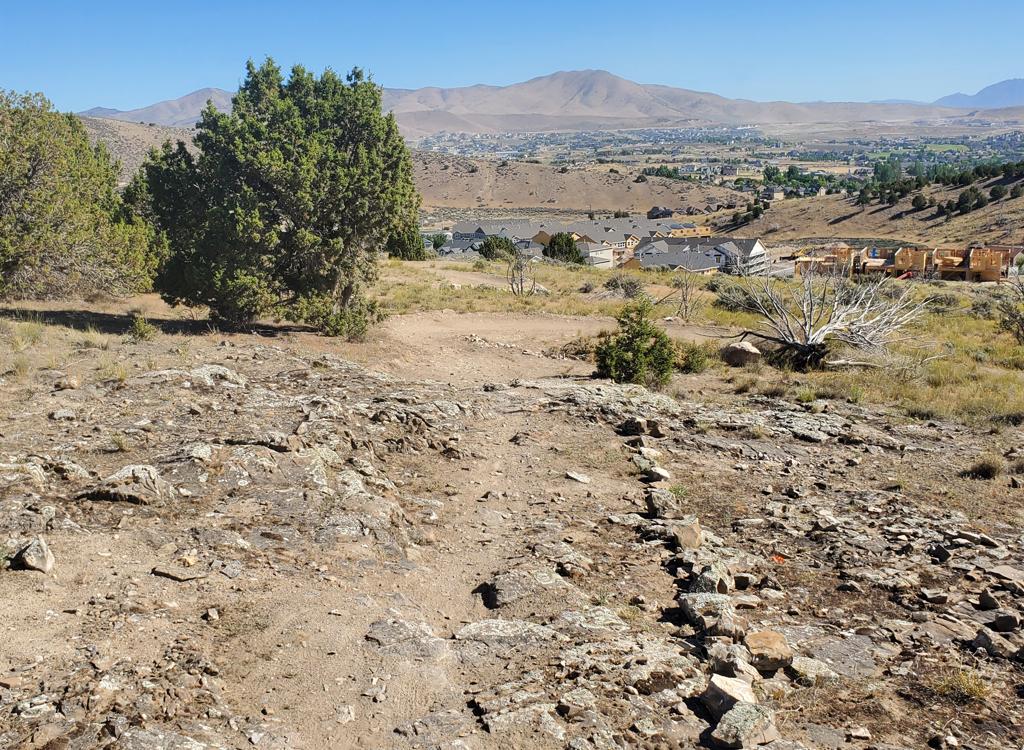
 and Box Elder (right) from Eagle Crest as we approach S...")


From the Maple Hollow (Deer Crest) Trailhead parking, turn left downhill (south) just after leaving the sidewalk. Descend through the tunnel. Turn left (east) as Maple Hollow South forks downhill. In 0.3 miles, keep straight as a trail from the road joins. At 0.5 miles, again keep straight and level as the Maple Hollow South Connector forks right downhill.


At mile 1.2, approach the fence of the Eagle Crest trailhead, but turn right and ride around the fence to the south side.
At mile 2.5, you're riding north along Suncrest Drive (the road to Traverse Ridge from Utah County). For the loop ride, continue on sidewalk to the light and cross. For Mercer Hollow cross and go to the south side of Canyon Pointe Drive.


Bottom Line:
Great trail for many types of ride, from
beginner's cruise to long pedal-fest loops to flaming downhills. Great
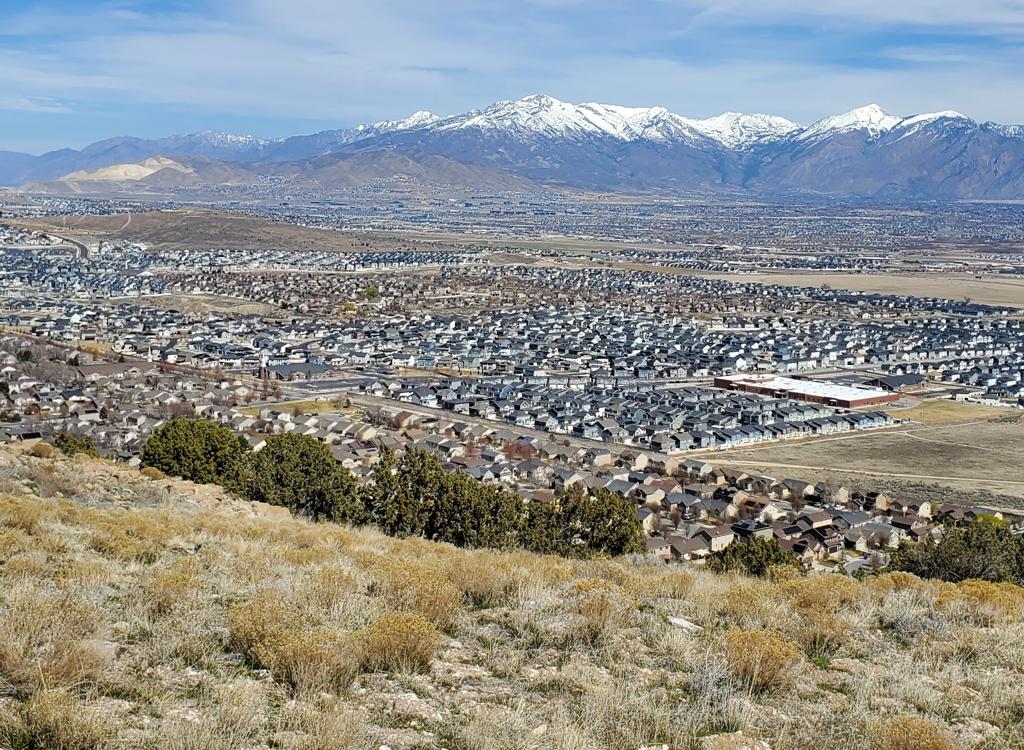
views. Worth your time no matter what type of ride you're looking for!
For more information on rides that include Eagle Crest, see the trail
pages for
-
Maple
Hollow South
-
Woods Hollow / Rattle and Hum
-
Zooropa, Vertigo and Levitate
-
Mercer Hollow / Mercer Mountain
-
Fango
-
Edelweiss
-
Ann's Connector

From I-15 in Salt Lake City, take the Bluffdale exit and head east on Highland Drive toward the mountains. As you reach the traffic light at the top of the hill, about 3/4 mile after leaving the freeway, turn right on Traverse Ridge Road. Drive about two miles up to the top of the mountain to the stop sign.
From Utah County, get on the Timpanogos Highway. At the Lehi-Highland border, go north on Highland Blvd at the big stop light east of Smiths. This will become Suncrest Drive as it enters Draper. Climb to the stop sign at the top of the hill.
Deer Ridge or Maple Hollow trailheads: At the stop sign in Suncrest, get on Deer Ridge Drive (right turn from SLC, straight from Utah Co). Go 0.9 miles. Just before the entry into the Deer Ridge trailhead parking, turn right onto Elk Glen Drive and after 100 yards turn left to park at the small picnic area. The wide trail to the left will take you down and under the road to Eagle Crest. If you parked at Deer Ridge, take the singletrack connector on the north side of parking to Maple Hollow then turn left to go downhill to Eagle Crest.
Eagle Crest trailhead: From the hill-top stop sign above, go south on Traverse Ridge Road (straight from SLC, left turn from Utah Co). To to the end of the road and park.
GPS track files for download (Right-click and "Save as..."):
Corner Canyon area multi-track file
Higher-res satellite map for printing:
View Mercer Hollow map
High-res Suncrest
Lodging, camping, shops: Links to southern SLC resources
Click
for Corner Canyon area trails
overview page
Updated 2013, 2016 and 2022.