
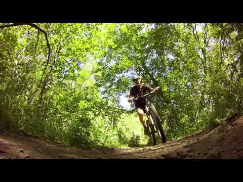

The Big Spring Hollow trail is a short but sweet singletrack in the South Fork of Provo Canyon. The main trail is an easy ride for conditioned beginners. More difficult options can be added on. At a fairly low altitude for an alpine trail (5700 feet), this trail opens in late spring for early-season riding.


One of the ride's highlights is the big meadow. You'll know when you're there. Always worth a photo. For beginning riders and kids, this is a good spot to say "we're done" and turn around.


For a clockwise ride, fork left on a much smaller trail 0.9 miles from the main parking lot. Most riders will continue straight up the main trail. At mile 1.5, you'll hit a T intersection. On your right is the continuing trail up to Big Springs and the Cascade Saddle. To the left, the horse-route joins -- and this is your way down if you're doing the loop. It's also your way to the Great Western for Windy Pass .


If you do the loop (instead of an out-and-back) counterclockwise, you'll keep left at the trail forks until you arrive back at the outgoing trail.

0.0 Leave far end of parking area, and immediately turn left uphill
0.85 Fork - for clockwise look, go L
0.9 Meet doubletrack, singletrack goes L 20 ft uphill
1.1 Fork, keep R (L goes to Great Western Trail)
1.2 Fork, go L (R goes through meadow, rejoins)
1.45 (Meadow trail rejoins on R)
1.8 Fork, go R for loop GPS N 40° 18.957' W 111° 32.313'
(straight 0.2 to springs, or 3.5 tough climb to Cascade Saddle)
2.25 Merge doubletrack, singletrack on L after creek
2.6 Back at first fork
3.5 At parking lot.
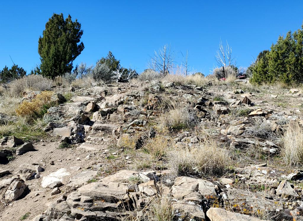
Cascade Saddle: At the top of the loop, a trail continues uphill. Although the first half-mile seems inviting, the trail turns loose, steep, and tough. This trail goes to the Cascade Saddle, and it will climb a brutal 2500 feet in 3.5 miles. The loose rock makes the uphill difficult even for an advanced rider. The descent often involves surfing in horse-churned rocks. But it's pretty.


At mile 1.1 on the loop, going left at the fork takes you to the Great Western, which climbs up to Windy Pass , then on to the north side of Bald Knoll. After Bald Knoll, the Great Western connects to forest road 121, which drops down into the town of Wallsburg. This is a long and somewhat mean climb, with peak altitude of 9200 feet. (Remember you're starting at 5700. That's 3500 feet of climbing, dudes.) If you're up for it, we've mapped the route to the pass on the Windy Pass page .

In Provo Canyon, turn south (right if you're going uphill) on the South Fork road at Vivian Park. Drive 3.1 miles and turn right at the National Forest access. Go to the big parking lot at the end of the paved road -- about 0.1 mile. (If the gate on this road is closed, park here and ride up the paved road.) The singletrack trail starts at the hole in the fence at the north end of the parking lot, west of the big picnic pavilion. GPS N 40° 19.952' W 111° 31.487'.
Single-page riding guide
GPS track files (right-click and "Save as..."):
GPX loop ride as above
Large-format topo map: download
Lodging, camping, shops: Links to Provo Canyon resources


